Garmin GPSMAP 79s
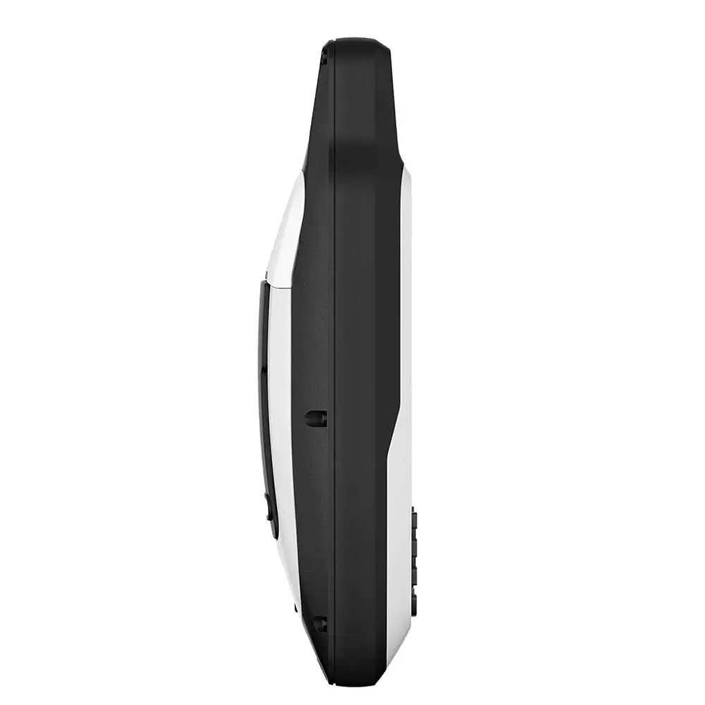
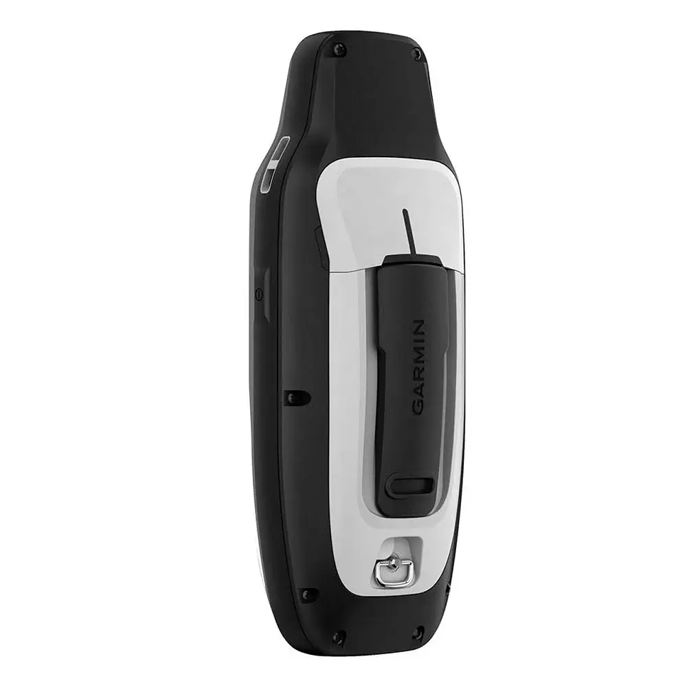
Sebagai penerus dari seri GPSMAP sebelumnya, Garmin GPSMAP 79s hadir dengan peningkatan yang signifikan. Dengan resolusi layar yang lebih tinggi, peta yang lebih detail dan fitur-fitur tambahan, alat navigasi ini menghadirkan pengalaman navigasi yang lebih baik.
Fitur-Fitur Garmin GPSMAP 79s
Waterproof
Dibuat rating IPX7 membuat Garmin GPSMAP 79s tahan terendam dalam air hingga kedalaman 1 meter selama 30 menit tanpa mengalami kerusakan.
Kapasitas Penyimpanan Waypoint Luas
GPS tracker ini dilengkapi dengan memori internal yang dapat menyimpan hingga 10.000 titik navigasi untuk menandai dan menyimpan berbagai lokasi dengan tingkat akurasi yang tinggi.
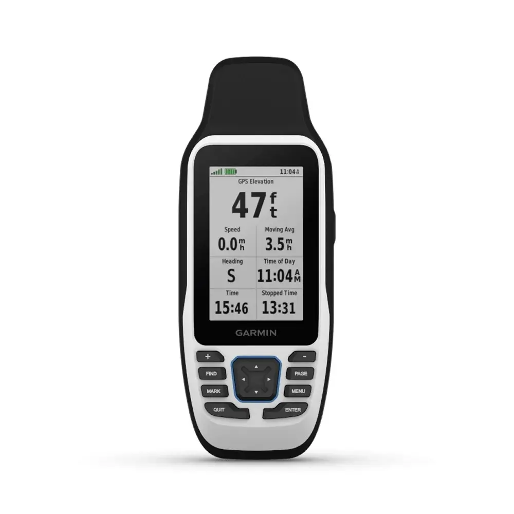
Sesuai Standar Militer
Alat navigasi ini juga telah memenuhi standar militer MIL-STD-810 sehingga tahan suhu ekstrim, guncangan, tahan air bahkan tahan banting.
Kapasitas Baterai Tinggi
Daya tahan baterai GPS kapal Garmin original ini mencapai 19 jam sehingga dapat digunakan untuk jangka waktu yang lama tanpa perlu sering mengisi ulang baterai.
Peta dengan BlueChart® g3 (Opsional)
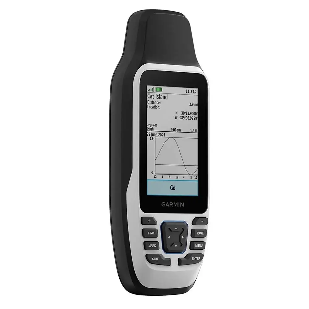
Garmin GPSMAP 79s menghadirkan kemampuan untuk menghubungkan data dari Garmin dan Navionics® melalui peta BlueChart® g3 yang opsional.
Peta ini memberikan gambaran kondisi perairan termasuk informasi navigasi penting, titik berbahaya serta lokasi pelabuhan dan fasilitas lainnya.
Interface NMEA0183
Dengan dukungan microUSB dan NMEA 0183, GPS Garmin ini dapat dihubungkan dengan komputer, autopilot, radar dan alat navigasi laut lain.
Spesifikasi Garmin GPSMAP 79s
| General | |
| Lens material | chemically strengthened glass |
| Dimension | 6.77 x 17.40 x 4.23 cm |
| Weight | 282g with batteries |
| Water rating | IPX7 |
| MIL-STD-810 | Yes (thermal, shock, water); bare unit only |
| Display Type | Transflective, 65K colour TFT |
| Display Size | 3.8 x 6.3 cm; 3″ diag (7.6 cm) |
| Display Resolution | 240 x 400 pixels |
| Battery type | 2 AA batteries (not included); NiMH or Lithium recommended |
| Battery life | Up to 19 hours |
| Memory/history | 8 GB |
| Interface | High speed microUSB and NMEA 0183 compatible |
| Maps & memory | |
| Preloaded maps | None |
| Ability to add maps | ✔ |
| Basemap | ✔ |
| Automatic routing (turn by turn routing on roads) for outdoor activities | Yes (with optional mapping for detailed roads) |
| Map segments | 15000 |
| Includes detailed hydrographic features (coastlines, lake/river shorelines, wetlands and perennial and seasonal streams) | Yes (downloadable from Garmin Express™) |
| Includes searchable points of interests (parks, campgrounds, scenic lookouts and picnic sites) | Yes (downloadable from Garmin Express™) |
| Displays national, state and local parks, forests, and wilderness areas | Yes (downloadable from Garmin Express™) |
| Storage and Power Capacity | Yes (32 GB max microSD™ card, not included) |
| Waypoints/favourites/locations | 10000 |
| Tracks | 250 |
| Navigation Track Log | 20,000 points, 250 saved gpx tracks, 300 saved fit activities |
| Navigation Routes | 250, 250 points per route; 50 points auto routing |
| Rinex logging | ✔ |
| Sensors | |
| GPS | ✔ |
| Galileo | ✔ |
| QZSS | ✔ |
| SBAS | ✔ |
| Compass | Yes (tilt-compensated 3-axis) |
| High sensitivity receiver | ✔ |
| GPS compass (while moving) | ✔ |
| Outdoor recreation | |
| Point to point navigation | ✔ |
| Area calculation | ✔ |
| Fish forecast | ✔ |
| Geocaching friendly | Yes (paperless) |
| Custom maps compatible | ✔ |
| Picture viewer | ✔ |
| Security Information | |
| Security updates until at least (YYYY-MM-DD) | 26/10/2023 |
Automated User –
Auto-generated review
Automated User –
Auto-generated review