Garmin GPSMAP 65s
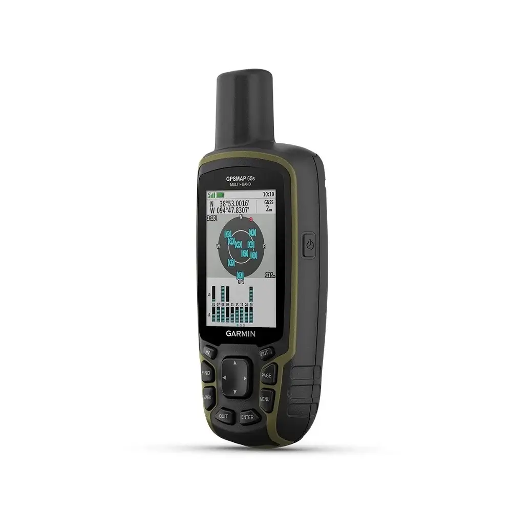
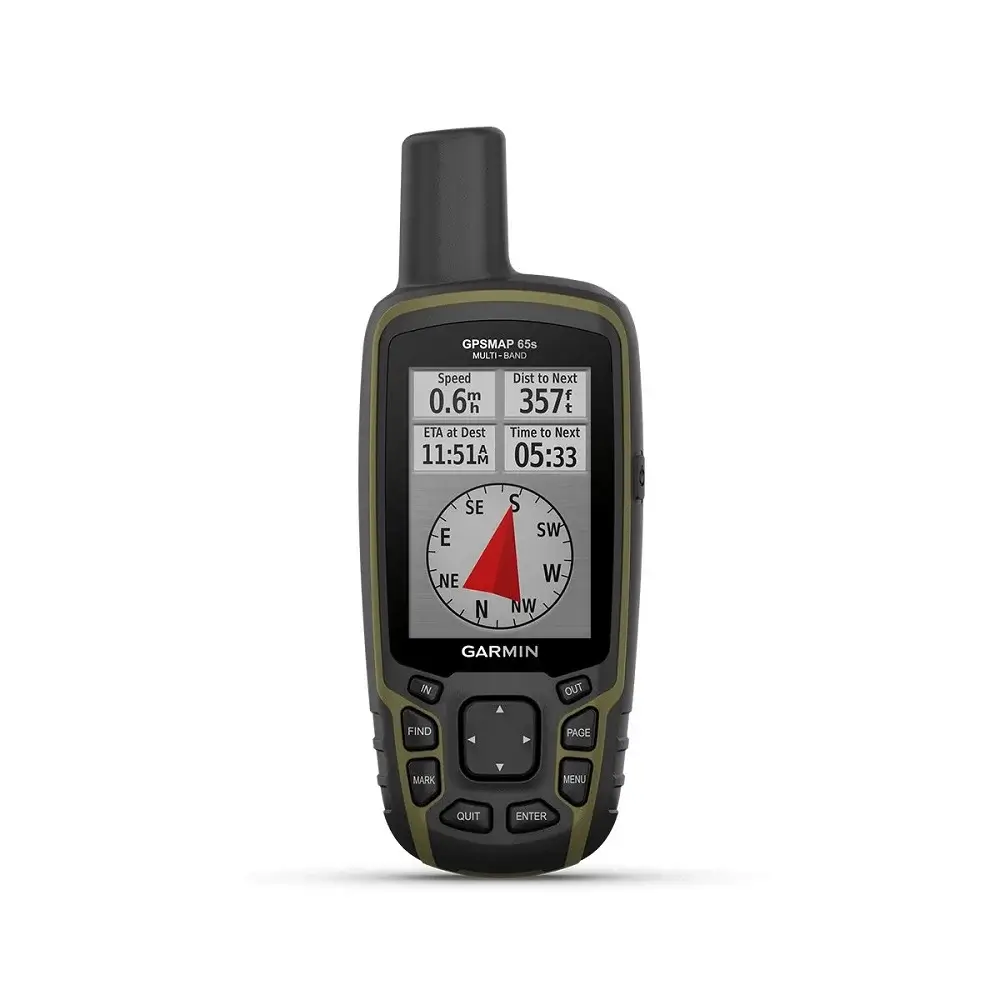
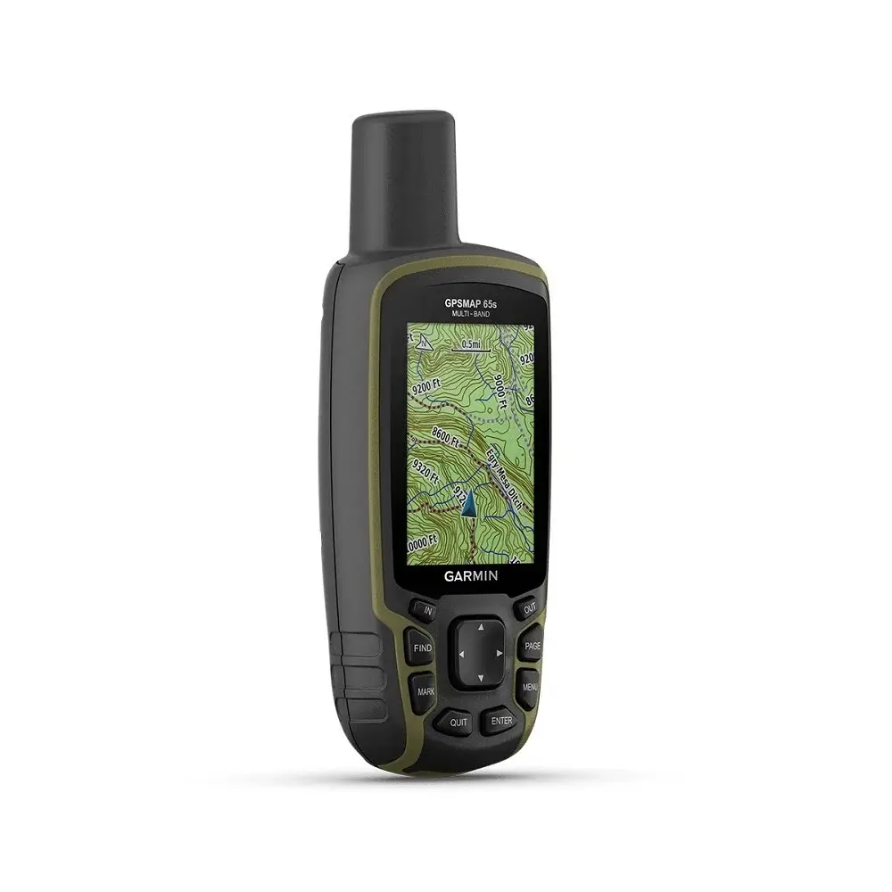
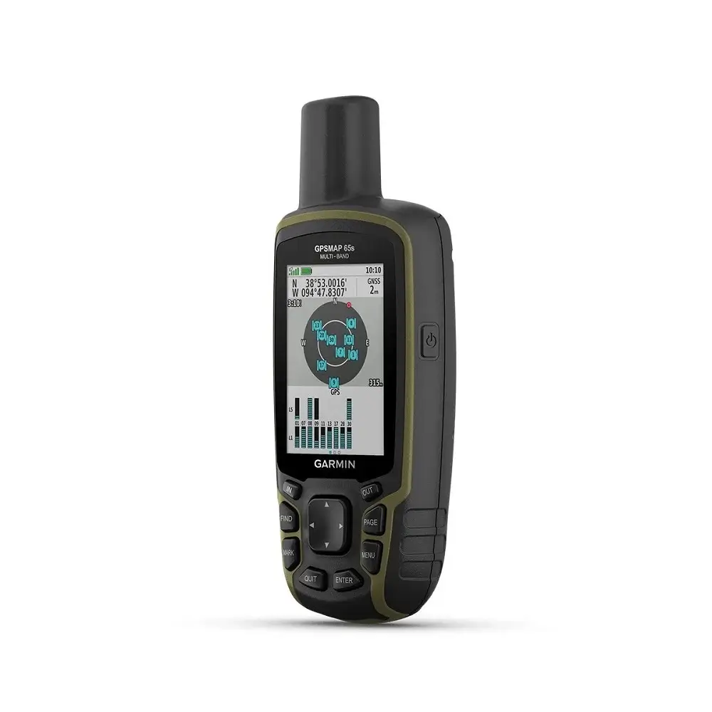
Garmin GPSMAP 65s adalah alat navigasi yang sangat berguna bagi para penggemar aktivitas outdoor atau luar ruagan. Selain sebagai navigator, GPS ini juga dapat berfungsi sebagai altimeter, barometer dan kompas.
Dengan kemampuan untuk menyimpan ribuan titik navigasi, trek dan rute, anda dapat dengan mudah merencanakan dan melacak rencana perjalanan anda.
Fitur-Fitur Unggulan Garmin GPSMAP 65s
Waterproof
GPS Garmin ini dilengkapi dengan rating IPX7 yang tahan air sehingga aman digunakan saat hujan dan di area yang lembab.
Kapasitas Baterai Besar
Alat navigasi ini menggunakan dua baterai tipe AA. Jenis baterai yang direkomendasikan adalah NiMH atau Lithium (Li-ion) yang dapat diisi ulang dan dapat digunakan selama 16 jam dalam penggunaan normal.
Kapasitas Memori Besar
GPSMAP 65s ini hadir dengan memori internal sebesar 16 GB yang dapat digunakan untuk menyimpan berbagai jenis data, seperti: peta, trek atau jalur yang telah direkam dan titik navigasi.
Teknologi Multi Band & Dukungan Satelit GNSS
Perangkat ini menggunakan teknologi multi band dan menerima sinyal dari berbagai satelit GNSS untuk penentuan lokasi yang akurat.
Interface NMEA0183
Selain itu, GPS Garmin ini dilengkapi dengan port mini USB berkecepatan tinggi untuk transfer data dengan cepat. GPSMAP 65s juga mendukung protokol NMEA 0183 sehingga dapat terhubung dengan berbagai alat navigasi yang sesuai.
Spesifikasi Garmin GPSMAP 65s
| General | |
| Lens Material | Chemically strengthened glass |
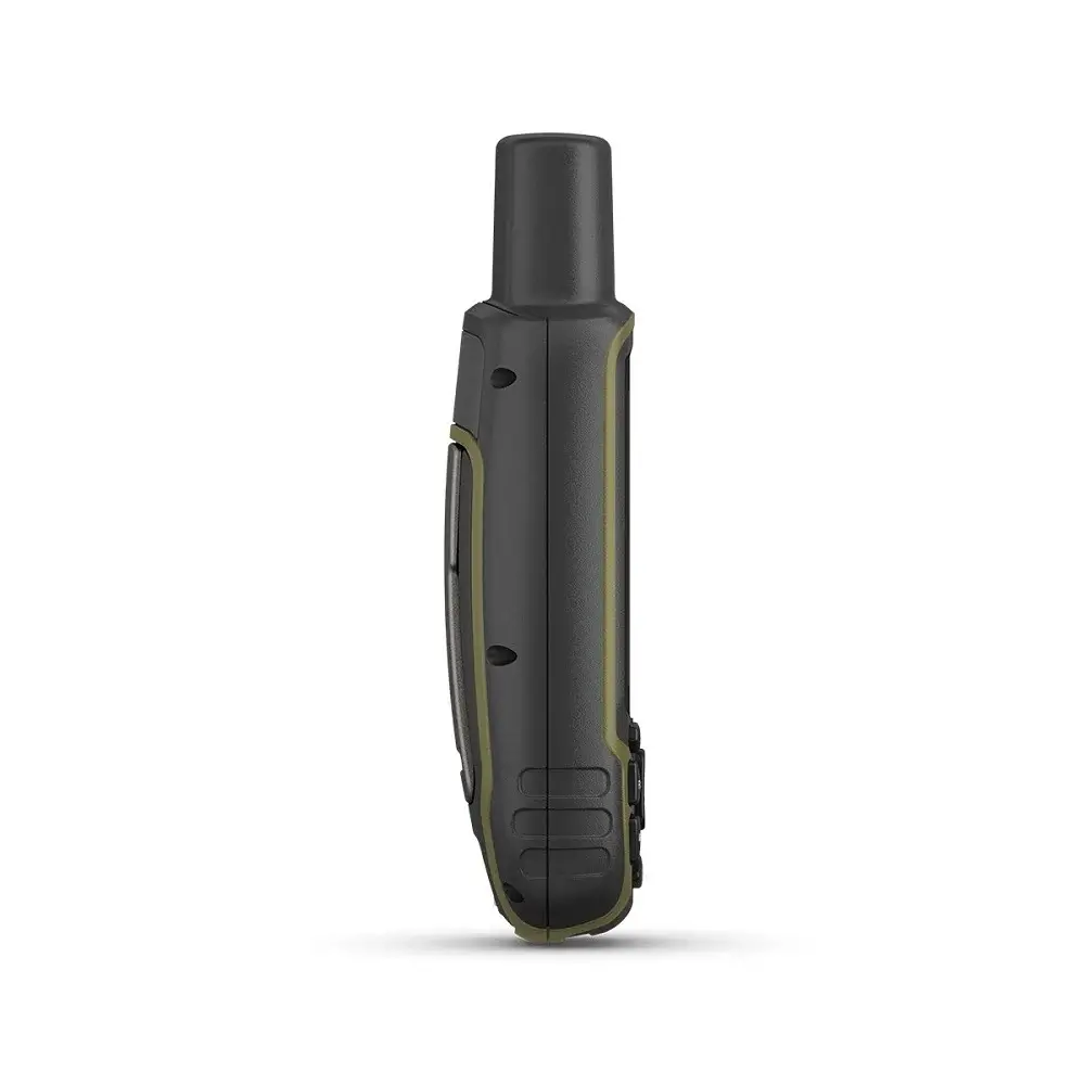
| Dimension | 2.4″ x 6.3″ x 1.4″ (6.1 x 16.0 x 3.6 cm) |
| Weight | 7.7 oz (217 g) with batteries |
| Water rating | IPX7 |
| Display Type | transflective, 65K color TFT |
| Display Size | 1.43″ x 2.15″ (3.6 x 5.5 cm); 2.6″ diag (6.6 cm) |
| Display resolution | 160 x 240 pixels |
| Battery type | 2 AA batteries (not included); NiMH or Lithium recommended |
| Battery life | 16 hours |
| Memory/History | 16 GB (user space varies based on included mapping) |
| Interface | high speed mini USB and NMEA 0183 compatible |
| Maps & Memory | |
| Preloaded maps | Yes (TopoActive; routable) |
| Ability to add maps | ✔ |
| Basemap | ✔ |
| Automatic routing (turn by turn routing on roads) for outdoor activities | ✔ |
| Map segments | 3000 |
| Includes detailed hydrographic features (coastlines, lake/river shorelines, wetlands and perennial and seasonal streams) | ✔ |
| Includes searchable points of interests (parks, campgrounds, scenic lookouts and picnic sites) | ✔ |
| Displays national, state and local parks, forests, and wilderness areas | ✔ |
| External memory storage | Yes (32 GB max microSD™ card) |
| Waypoints/favorites/locations | 5000 |
| Tracks | 200 |
| Navigation Track Log | 10000 points, 200 saved tracks |
| Navigation Routes | 200, 250 points per route; 50 points auto routing |
| Sensors | |
| GPS | ✔ |
| GLONASS | ✔ |
| Galileo | ✔ |
| QZSS | ✔ |
| Barometric altimeter | ✔ |
| Compass | Yes (tilt-compensated 3-axis) |
| High-sensitivity receiver | ✔ |
| GPS compass (while moving) | ✔ |
| Multi-band frequency support | ✔ |
| Daily Smart Features | |
| Smart notifications on handheld | ✔ |
| VIRB® Remote | ✔ |
| Pairs with Garmin Connect™ Mobile | ✔ |
| Outdoor Recreation | |
| Point-to-point navigation | ✔ |
| Area calculation | ✔ |
| Fish forecast | ✔ |
| Sun and moon information | ✔ |
| Geocaching-friendly | Yes (Paperless) |
| Custom maps compatible | Yes (500 custom map tiles) |
| Picture viewer | ✔ |
| Outdoor Applications | |
| Compatible with Garmin Explore™ app | ✔ |
| Garmin Explore website compatible | ✔ |
| Connections | |
| Connections Wireless Connectivity | Yes (BLUETOOTH®, ANT+®) |
Automated User –
Auto-generated review
Automated User –
Auto-generated review